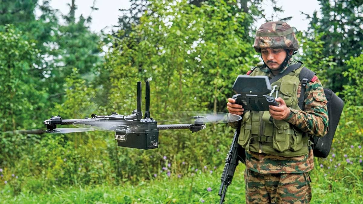
In homeland security, intelligence gathering, and defence operations, the ability to see — clearly, in real time, across difficult terrain — is the critical edge.
Aerogrid Drone Solutions provides government agencies, law enforcement, and defence establishments with customised UAV-based surveillance, reconnaissance, and monitoring solutions that extend operational reach without extending risk to personnel.
We work with government clients under strict confidentiality and operational protocols.
Our defence and homeland security services are designed to integrate with existing command and control structures, providing aerial data that enhances situational awareness, improves response times, and supports both routine monitoring and critical incident response.
Traditional ground-based surveillance has limitations in coverage area, terrain accessibility, and real-time visibility.
Drone-based operations overcome all three constraints simultaneously — one UAV can monitor a 5 km radius continuously, covering terrain inaccessible to ground units, transmitting live video to command units positioned safely away from the operational zone.
Aerogrid Drone Solutions understands the terrain, regulations, project timelines, and business pressures that define infrastructure development across Chhattisgarh and the Central India.
certified pilots and fully compliant UAV operations.
accurate data validated against ground control points
from flight operations to processed, analysis-ready deliverables.
Rapid mobilization across Chhattisgarh, Madhya Pradesh, Odisha, and Maharashtra
Government-grade projects with strict reporting requirements.
DWG, SHP, LAS, PDF, GeoTIFF, and more